 PolyTrans' (USGS) DEM Geometry Import Converter
 PolyTrans' (USGS) DEM Geometry Import Converter
PolyTrans's DEM geometry import converter imports, manipulates and converts digital elevation model (DEM) data in the USGS format. This form of DEM data is available from the United States Geological Survey (USGS). Each data set describes the elevation of semi-square regions of land for various locations across the U.S.A., Alaska, Hawaii and some surrounding areas of Mexico and Canada. The most accurate DEM data sets are sampled every 30 metres (7.5 minute DEMs) while the least accurate are sampled every 3 arc seconds (for 1:250,000 scale DEMs). See below for a description of the various DEM dataset types.
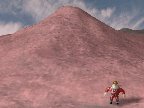
Since these datasets are abundant and available freely via the Internet, this converter can be put to good use for creating realistic (and accurate) 3d landscape geometry.


Features of the DEM Converter
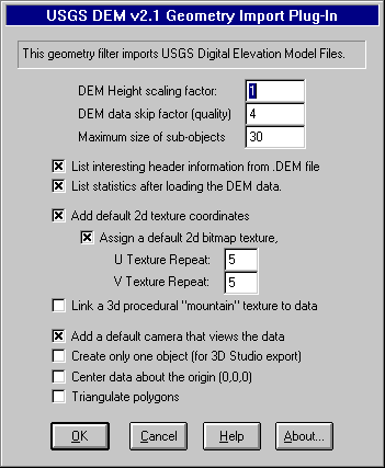
DEM datasets typically contain 60000 or more quadrilateral polygons, or 1200000 triangles (for a 258x258 resolution sample; the maximum DEM dataset size if 2050x2050 which would result in 4.2 million quadrilaterals or 8.4 million triangles). This is an enormous number of polygons for most 3d rendering programs so this DEM converter incorporates two unique options to overcome this problem: